|
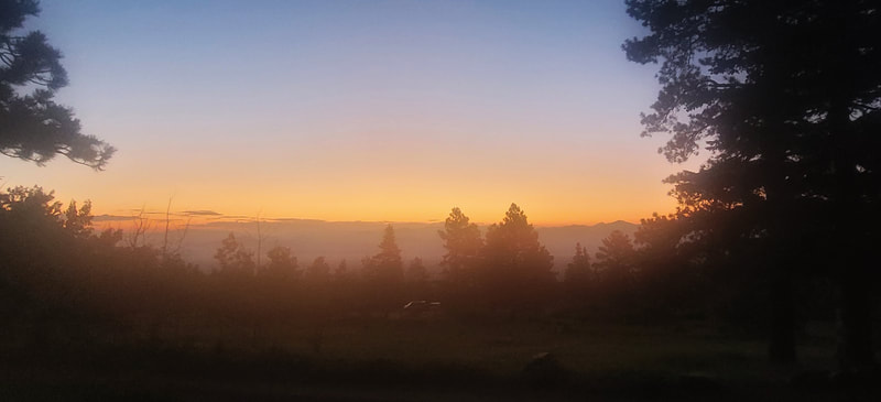
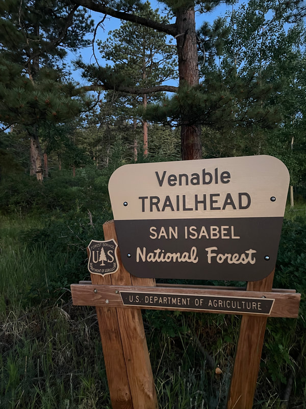
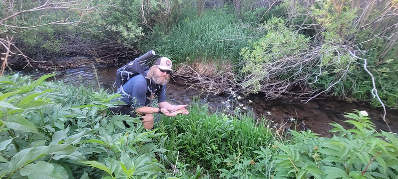
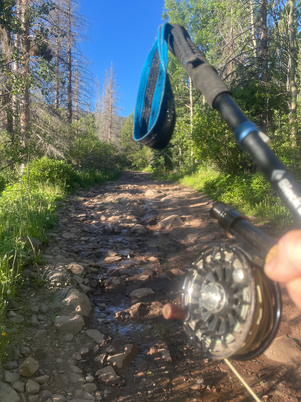
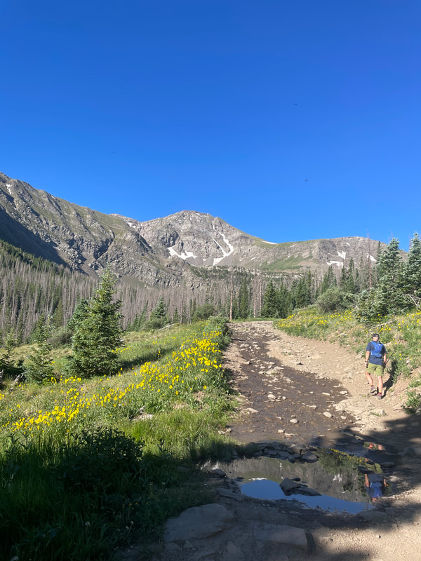
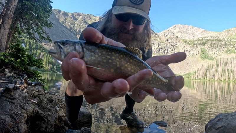
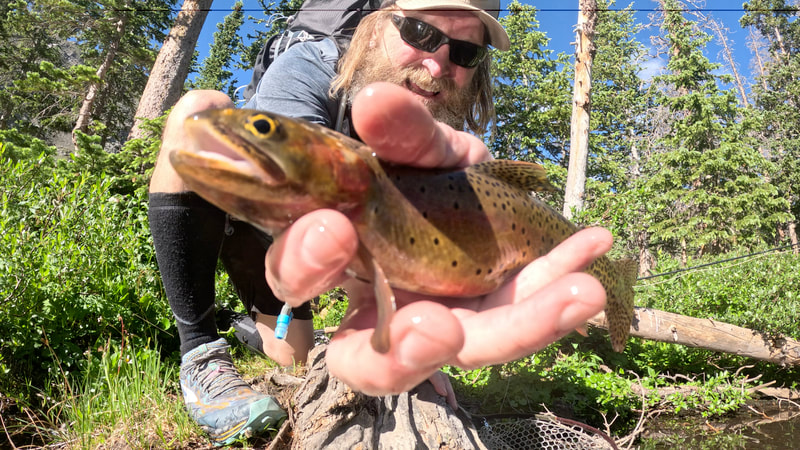
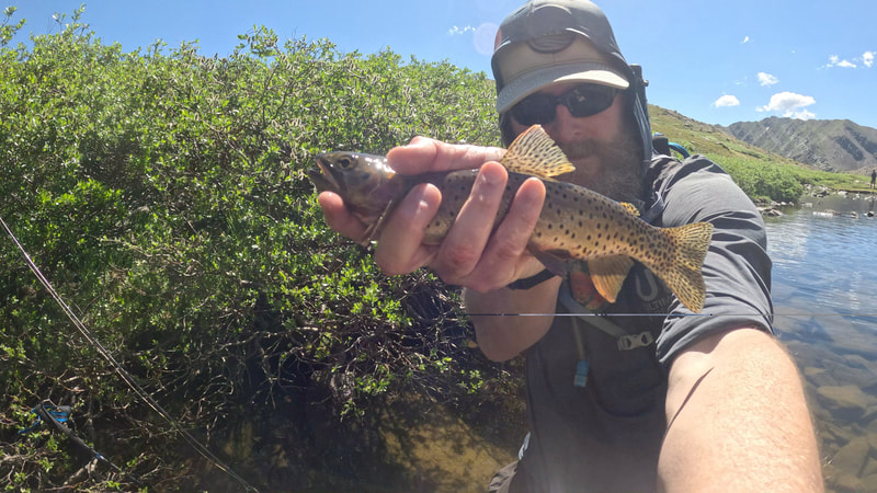
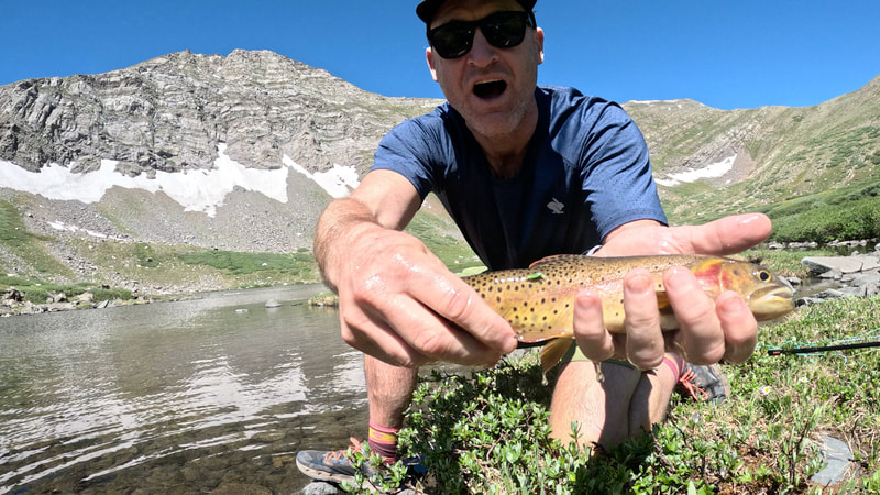
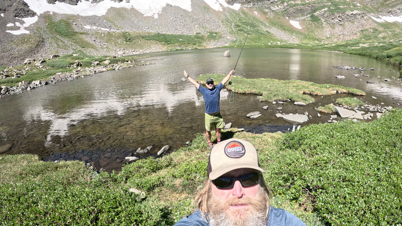
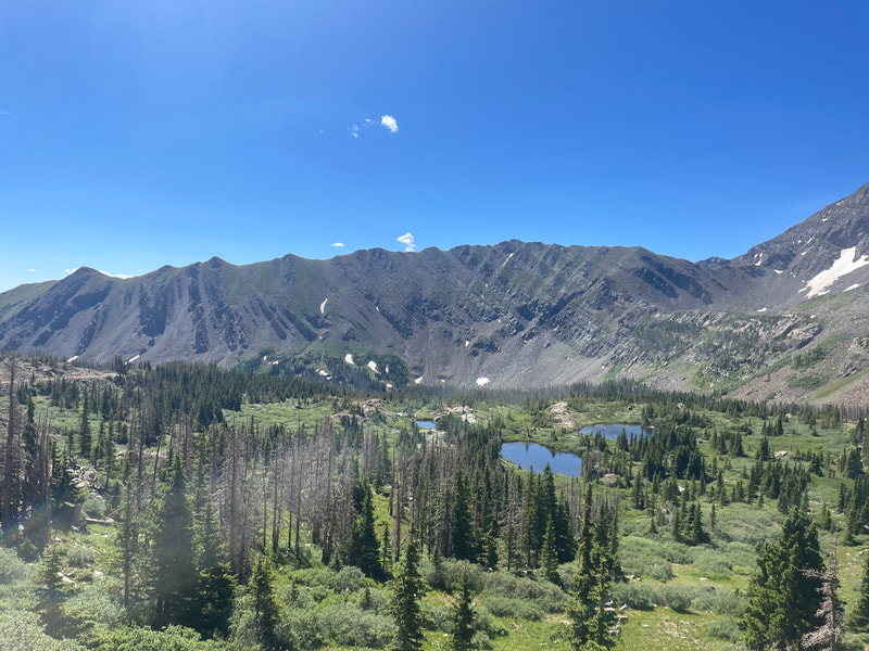
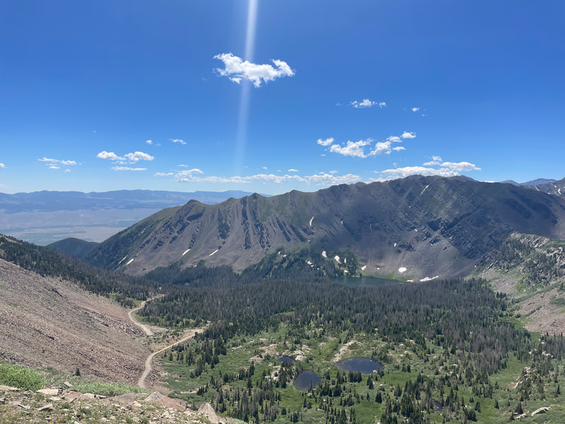
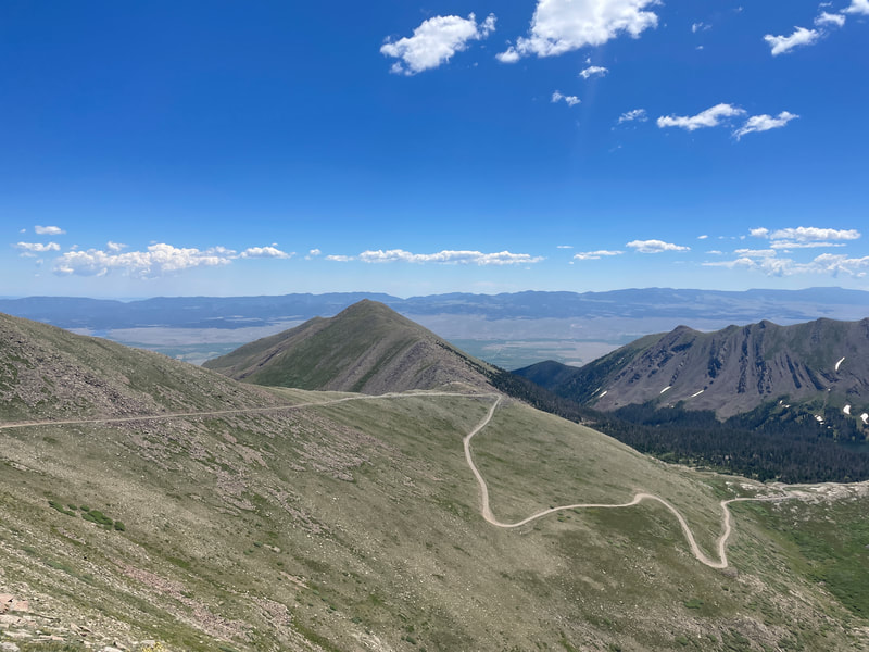
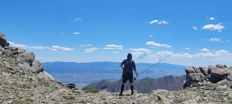
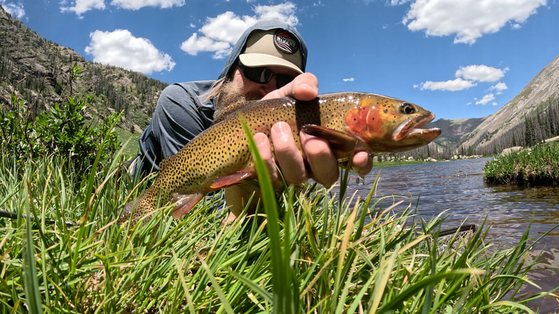
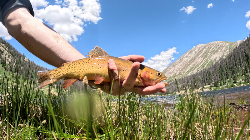
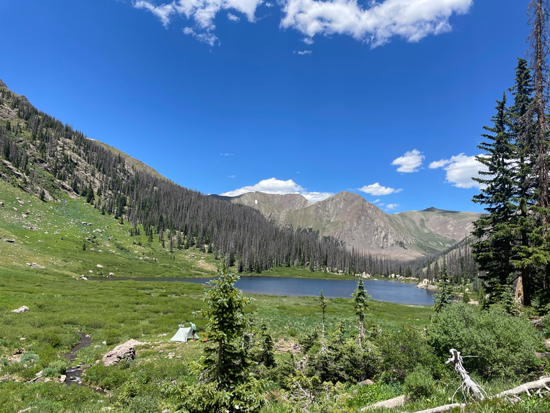
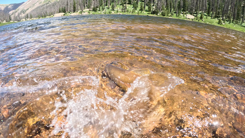
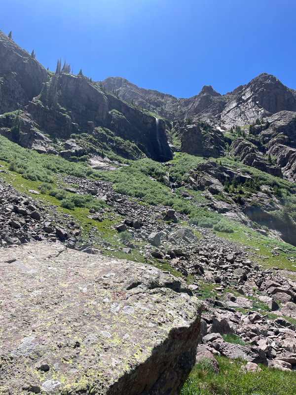
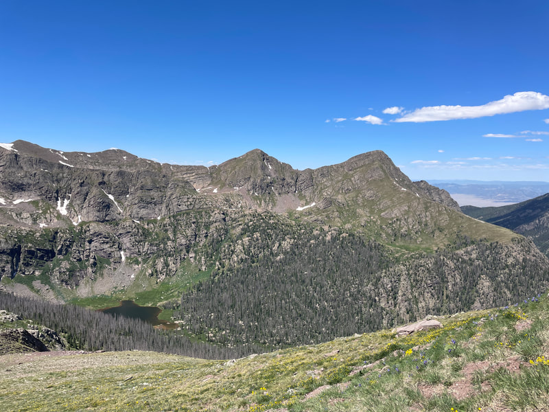
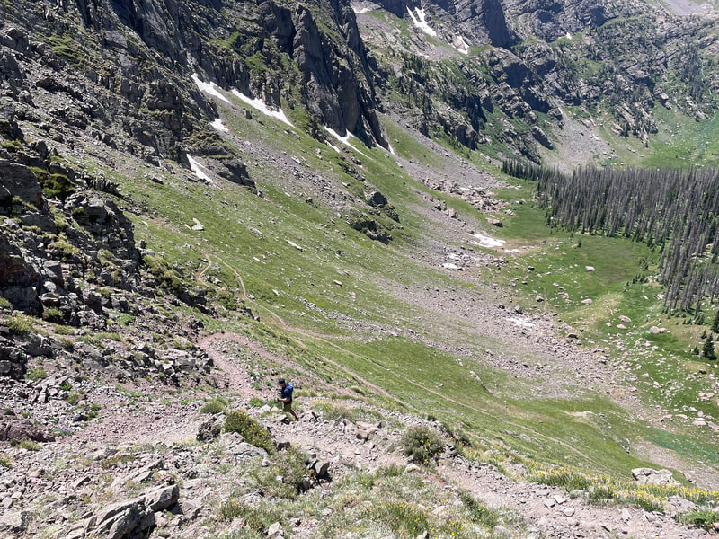
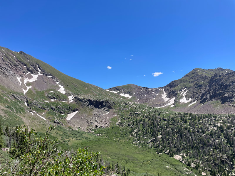
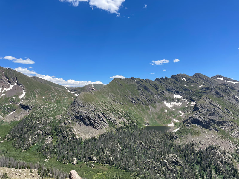
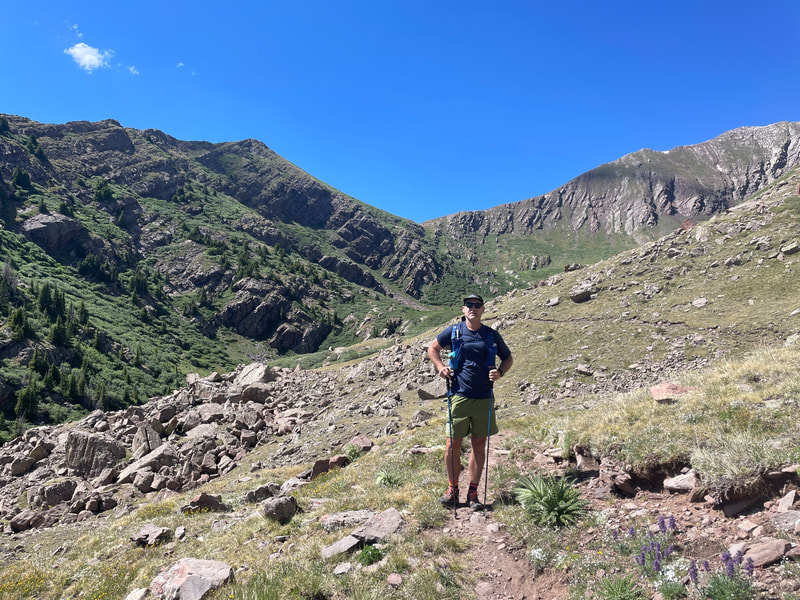
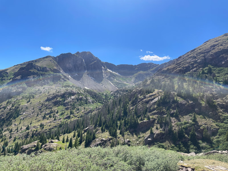
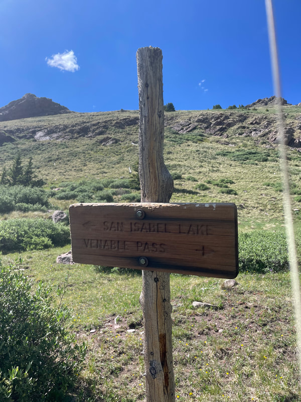
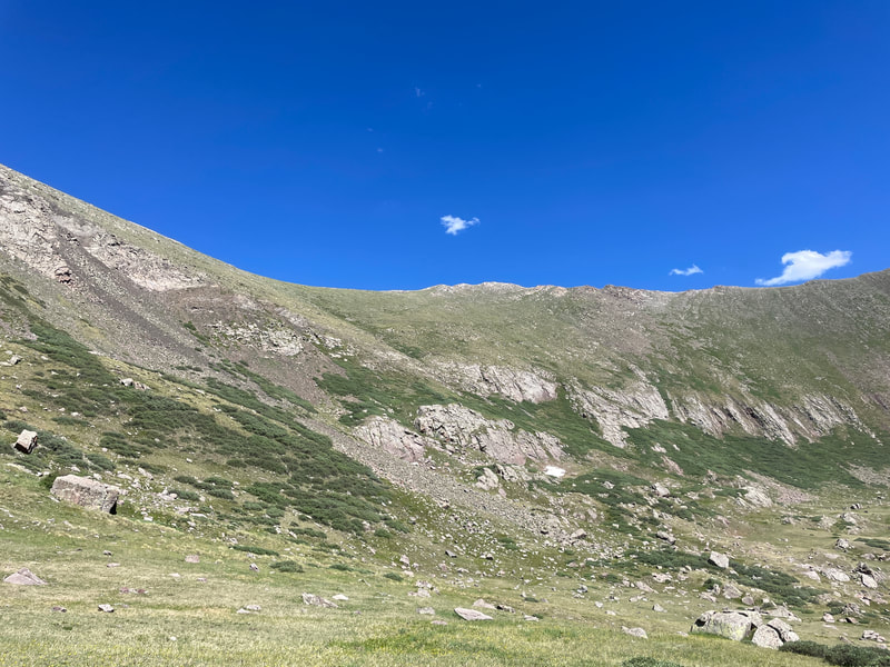
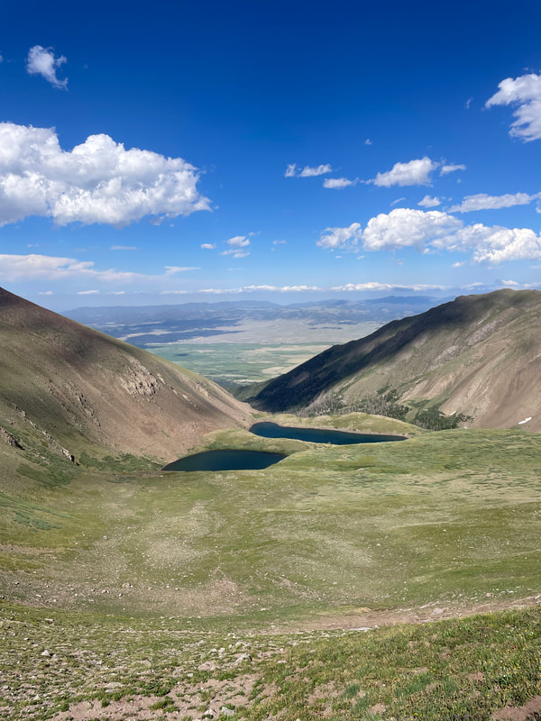
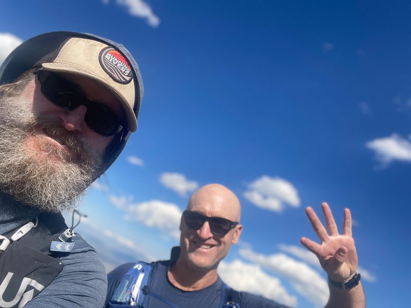
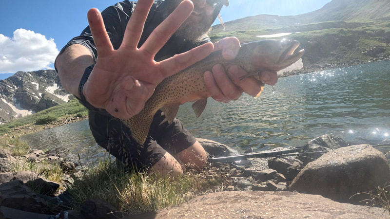
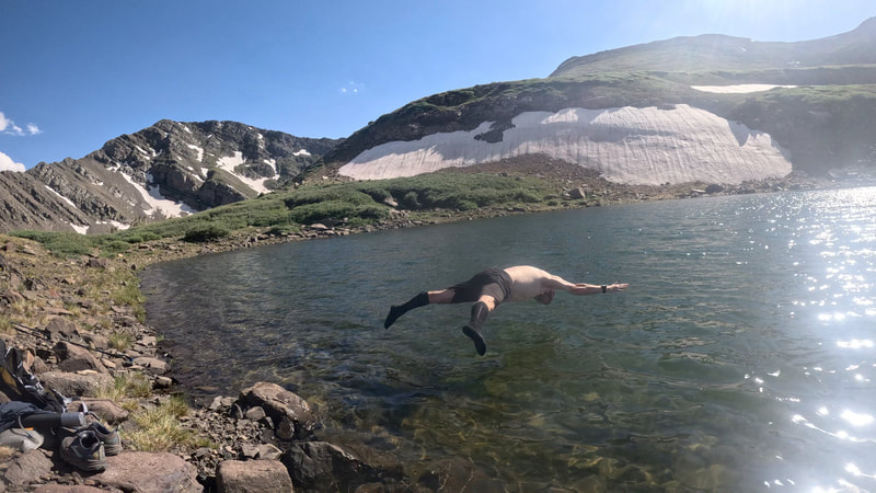
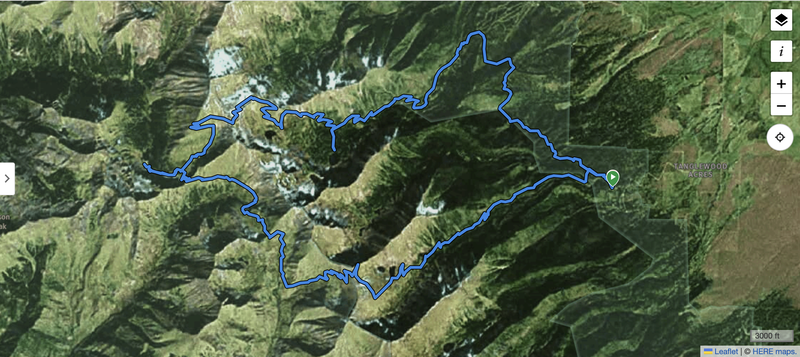
Since Cassie and I bought our place in Westcliffe, CO nearly 5 years ago, the Rito Alto Four Pass Loop has lurked near the top of my running / fishing to-do list. Truth be told, I hadn't attempted the route in all that time because even on paper, it is more than a little daunting for a nearly 50 year old "Clydesdale" runner like me. Sure, I've done a lot of strenuous running / fishing in that time with the Sangre de Cristo Mountains sitting right behind our cabin (e.g. a door to door 50 mile November loop with 26 miles on the Rainbow Trail), but with its 7,000ish feet of incline and sustained drop onto the west side of the Sangres, this one always seemed like the one to do next year... But my motivation to do something epic skyrocketed following a June Troutman failure to launch (see last blog post). And who else would I reach out to to join me than my trusty college-roommate-turned-middle-aged-adventure-buddy, Amarillo, TX resident Connor O'Rourke. Truth be told, on the eve of this adventure, I even tried to talk Connor out of it, stemming from what felt like an inadequate training base and a few too many pre-run IPAs. Thankfully, he was having none of my last minute waffling, so at 5 am on the morning of Friday, July 14th, Connor and I pointed his Subaru adventure wagon toward the Comanche / Venable Trailhead. As the sun began to rise, we began our adventure from one of my favorite jumping off points in the Wet Mountain Valley, the Comanche / Venable Trailhead. We headed north on the Venable Access trail to reach the Rainbow Trail, a short (0.4 miles) and steep (250 feet of gain) climb, and some of the worst trail on the whole route due to loose rock and dust. Once on the Rainbow Trail, we continued to head north towards Goodwin Lakes. Over the next 3.75 miles on the Rainbow Trail, it is a gradual mix of climbing (~900 feet gain) and descending (~200 feet loss). In it's Custer County section, the Rainbow Trail is designed to allow passage of narrow ATVs (<50 inches), so the trail is nice and wide to run / hike side by side with a friend! Along this stretch, you will pass trailheads for Venable Lakes and for Goodwin Lakes and will cross several small creeks. At the intersection with County Road 160, Connor and I made a hard left turn and begin the approximately 6-mile (3,100 feet of gain) hike to the summit of Hermit Pass. Just a quarter of a mile up this road, we broke off to the Middle Taylor Creek dispersed campground and picnic area where I managed to pull a brook trout and then a cutthroat out of this small creek (and spooked many more fish). For those of you with high clearance vehicles, this is a great little camping area if you are looking for a place to crash / fish, but there are no pit toilets, so please pack it out. After a short break, we hit the road ascent again, intermittently fishing along the creek on our way up to the first of our four lake adventure, Hermit Lake. (Despite hooking several trees, Connor managed to land a brookie out of the creek just before Hermit Lake). About 3 miles up from the junction of CR160 and the Rainbow Trail, a short (0.25 mile) trail leads over to Hermit Lake. More spectacular than I had imagined it would be given that it falls near a road and therefore outside of wilderness, Hermit was actually a really nice lake. I quickly hooked a brook trout in the lake, and then somehow managed to pull a cutthroat out the beaver pond complex just below the lake. There were fish rising everywhere in this pond, but they appeared to be taking super tiny flies that frankly, in my advancing age, I couldn't / wouldn't tie on to catch more fish. As we left Hermit Lake and began to rise above tree line back on the road to Hermit Pass, the views just kept getting better. Eventually, our second targeted lake, Horseshoe Lake, appeared and following some basic willow navigation and running shoe wading, I hooked up with a Horseshoe Lake cutthroat. Wanting to get Hermit Pass out of the way, I waded back to find Connor who was unsuccessfully hunting cutthroat in the shallow outlet of the lake. As the sun climbed higher into the sky, Connor declared that he was going to throw just five more casts and we would head out. As I pounded down a Snickers bar (the ultimate running food), filtered some water and packed up my gear, I heard a triumphant squeal from the lake and looked down to see Connor hooked up with his first cuttie of the day! Once we left Horseshoe Lake, we began the final ascent of Hermit Pass, which was another 1.6 miles and 1,000 vertical feet of gain to the top. Looking back on the Middle Taylor Creek valley as we ascended, we had incredible views of the road we just climbed, both Hermit and Horseshoe Lake, and a third lake (Eureka Lake) perched up in the southern end of the basin. At the top of Hermit Pass (the highest point along this loop at just under 13,100 feet), we took a couple of deep breaths and pictures in panorama mode and prepared to begin our descent into the Rito Alto drainage. The drop from Hermit Pass to Rito Alto Lake is not insignificant, falling about 1,700 vertical feet in about 3 miles. Note: All day, these descents were mentally challenging as you knew that you were going to have to gain a lot of that elevation back eventually. The first stretch is fairly obvious, as the trail is really an old road grade that eventually reaches some long abandoned historical garbage at about a mile down. From here, the next mile or so involves some route finding through the headwaters of Rito Alto Creek, but if you look south and west, you can see where Pass #2 climbs steeply out of the valley. Point towards that and stay out of the willows to your right and you will eventually find the trail junction, with a left taking you up Pass #2 and a right taking you further down valley to Rito Alto Lake. We went right. The experience at Rito Alto Lake was terrible. The waterfall cascading off of the cliffs to the west was irritating. The cutthroat trout weren't vibrantly colored, plentiful or large. The views were lame. We left as quickly as we could. I'm not going to lie, the climb out from Rito Alto Lake to Pass #2 was a grind (~1,000 vertical feet in just over a mile) filled with switchbacks, first in the trees and then out in the open. But from the top, we could see our past (Hermit Pass and Rito Alto Lake) and our brutal future looming off in the distance (Pass #3). Since we were three for three on cutthroat in our first three lakes, we decided not to add the mileage and elevation gain to hit San Isabel Lake (though it is part of a future Six Pass / Six Lake / Six Cutthroat Loop that I am now scheming). Instead, we put our heads down and banged out the 2.25 mile (550 foot drop and 900 foot regain) trek over to the top of Pass #3. As we crested the top of Pass #3, it became painfully obvious that there was no obvious / easy path back up and over to the east side of the Sangres. Instead, the trail began a steep and sustained drop down the North Crestone Creek valley. On the way down, the incredibly majestic Groundhog Basin gradually appeared on our right, at least temporarily distracting from the fact that we were going down instead of up. About a mile down this trail (and 750 feet drop), we came to the trail junction with a right heading way down valley to the San Luis Valley town of Crestone. Our route was straight ahead, and from this sign, we could see the switchbacked Venable Pass route well above us cut into the mountainside (1.3 miles and 1,000 feet of climbing). Following a slow but steady ascent peppered with occasional f bombs and excessive heavy breathing, we reached the top of Venable Pass where we looked down on our final lake of the day (Lower Venable Lake) and our final descent down the Venable Trail back to the trailhead. As a board member of the Westcliffe based Trails for All nonprofit, I knew we were in for a smooth descent as we had recently removed all downed trees and encroaching willows from this trail. And as a regular visitor to Lower Venable Lake, I knew the cutthroat would be cooperative. Following a short section of route finding from the Venable Pass, we arrived at Lower Venable Lake where we quickly caught a couple of fish (and took a very brief but refreshing swim) before pointing for home (4.5 miles and 3,000 feet of drop). After just over 13 hours in the Sangres, we made it back to Condor's car where we drank a celebratory beer to make the Fastest Known Fish of the Rito Alto Four Pass loop official. I had the amazing Westbound and Down School Night while Connor drank the much more approachable Bell's Two Hearted Ale. All and all, it was an amazing day, one that I plan to replicate in the future. The Sangre de Cristo mountains are an amazing and rugged place that I am hoping to completely explore before I can't anymore. Please reach out if you want to be a part of that exploration!
1 Comment
|
AuthorDr. Andrew Todd is the Founder of Running Rivers and the Flyathlon. Dr. Todd is a slow but stubborn trail runner, a decidedly average fly fisherman, an enthusiast of dark and mysterious barrel aged beers, and a guardian of three fierce adventure terriers ArchivesCategories |



 RSS Feed